

Augview app for iPhone and iPad
Developer: Augview Ltd
First release : 08 Oct 2014
App size: 131.16 Mb
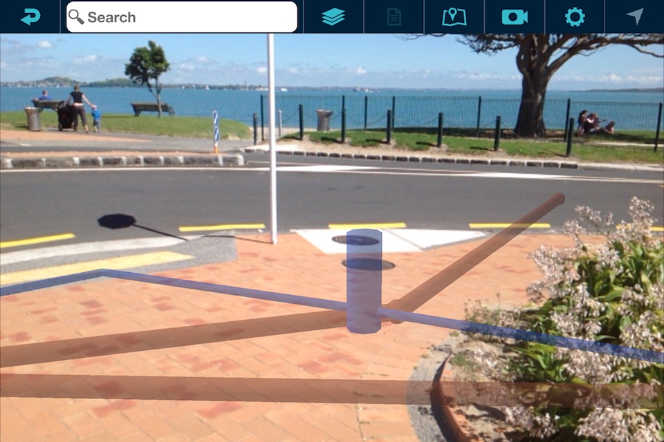
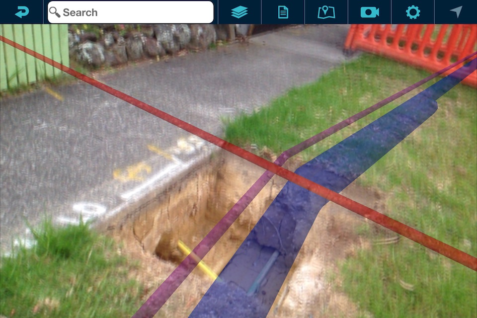
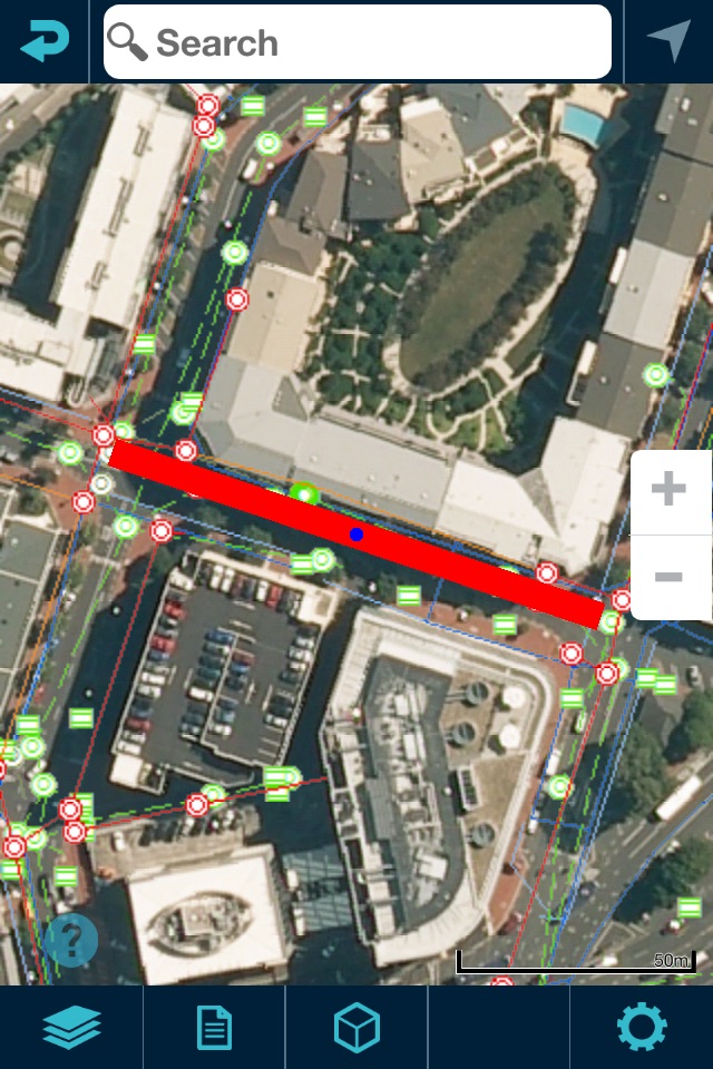
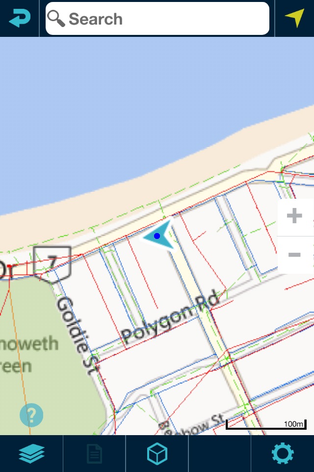
Augview is an augmented reality application that enables the user to display and visualize infrastructure asset data. It has been developed for field service personnel who require online access to a variety of GIS and asset management systems via the internet. Augview provides traditional GIS map views of the asset data plus an augmented reality mode that displays 3D objects of the networks overlaid over the video stream.
Features
* 2D map
* 3D augmented reality mode
* Combines multiple GIS data sets into one map (Data access is based on pre-arranged permission)
* Supports ESRI Rest API: MapServer, FeatureServer, ImageServer
* Supports Smallworld: GSS
* Supports OGC services: WMS, WMTS, WFS, WCS
* Integrates Digital Elevation Models with ArcGIS ImageServer or OGC WCS
* Database interrogation
* "Live" attribute and spatial updates (requires “write” permission from the data administrator)
* Photo capture with geotagging and association with an asset